 By OUR CORRESPONDENT
Muscat – A study by researchers at Sultan Qaboos University (SQU) has proposed an integrated flood management strategy for Wadi Al Sarmi in North Batinah, concluding that effective protection against flash floods requires coordinated planning across entire wadi catchments rather than separate upstream and downstream measures.
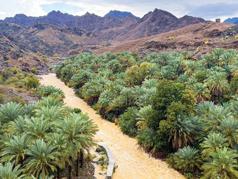
Led by Dr Ghazi bin Ali Al Rawas of the College of Engineering, the research examined flash flooding in Wadi Al Sarmi, identifying it as a challenge influenced by geography, urban expansion and institutional planning. The study found that floodwaters generated in the mountainous upper reaches continue into densely populated downstream areas, increasing risks to communities, roads and public infrastructure.
The researchers noted that the North Batinah coastal plain has experienced repeated flooding in recent years. Rapid urban development, combined with the area’s low-lying terrain, has heightened vulnerability and underscored the need for more comprehensive flood management.
Using the Storm Water Management Model (SWMM), the research team simulated water flow across the entire catchment to evaluate flood behaviour under different scenarios. The study recommends treating rural upstream areas and urban downstream areas as one connected system rather than planning flood-control measures independently.
The proposed strategy optimises the location and size of upstream detention dams using a multi-objective optimisation framework. Alternative scenarios were assessed through the Complex Proportional Assessment (COPRAS) method, while Backward Induction Game Theory (BIGT) was used to balance competing priorities among stakeholders. Based on the preferred scenario, the downstream urban drainage network was redesigned to complement upstream flood-control measures.
The study also incorporated game theory to improve coordination between government agencies, including the Ministry of Agriculture, Fisheries and Water Resources and Suhar Municipality, helping reconcile upstream and downstream management priorities.
According to the findings, the recommended strategy reduced peak flood flows entering urban areas by 60.7% compared with the baseline scenario. It also increased the drainage network’s flood absorption capacity to 81.8%, significantly improving its ability to manage flood volumes.
The proposed plan includes 11 detention dams distributed across the catchment. The largest, identified as Dam D3, would have a height of 10.9m, with each structure designed according to local topography and flow conditions.
The researchers concluded that sustainable flood management depends on integrating scientific modelling, resilient infrastructure and institutional coordination, enabling authorities to move from reactive emergency response towards long-term flood risk reduction.
© 2021 Apex Press and Publishing. All Rights Reserved. Powered by Mesdac