 By OUR CORRESPONDENT
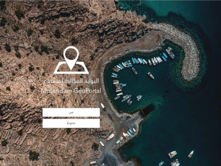
Khasab – Musandam has launched a bilingual digital spatial portal designed to give government entities, investors, researchers and the public easier access to geographic data and interactive maps.
The Musandam GeoPortal, available in Arabic and English, is part of the governorate’s wider digital transformation drive and is intended to support planning, infrastructure development and investment analysis.
Amna bint Mohammed Al Shehhi, Director of the Information Technology Department at the Directorate General of Administrative and Financial Affairs in Musandam, said the platform aims to improve the use of geospatial information in decision-making.
“The geoportal is one of the digital projects that aims to enhance the use of geographic and spatial data and support planning and decision-making processes, by providing accurate and up-to-date information within an interactive and easy-to-use digital environment,” Amna said.
The portal allows users to explore locations, public facilities, tourism attractions and services across the governorate. It also provides interactive mapping tools, advanced location searches and multiple spatial-data layers.
According to Amna, the platform can support site analysis, feasibility studies and identification of investment opportunities, while also helping promote Musandam’s natural, tourism and economic assets.
Government entities can use the system to link and consolidate geographic information within a single digital environment, which is expected to improve coordination and make urban planning and infrastructure development more efficient.
The launch builds on efforts to expand the use of geographic information systems in Musandam and improve the management of spatial data.
Amna said the geoportal also represents a foundation for future digital projects using smart-city and emerging technologies.
These could include the Internet of Things, artificial intelligence and digital twins, which use virtual representations of physical assets or areas to support monitoring, modelling and planning.
The governorate stated that the platform is intended to strengthen integration between different digital systems and services while supporting more efficient and sustainable development across Musandam.
© 2021 Apex Press and Publishing. All Rights Reserved. Powered by Mesdac